
Other Calendars
AUA Internal Calendar | Academic Calendar | Admissions Calendar| Open Education Calendar | Library Calendar| Center for Student Success Calendar
AUA Public Events

- This event has passed.
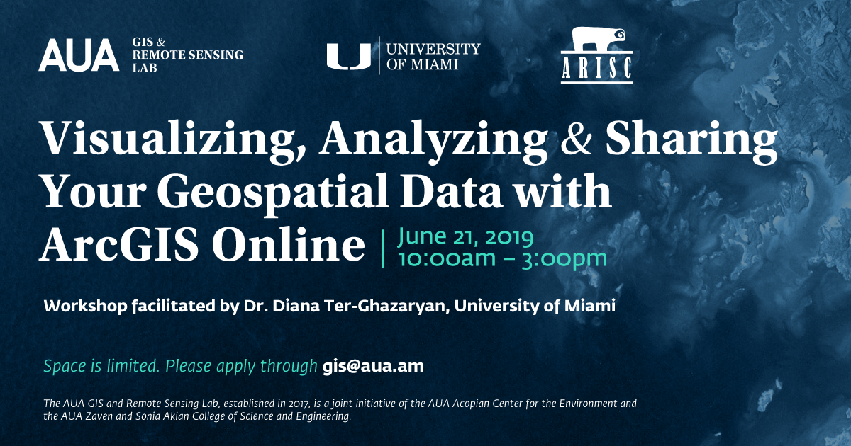
Workshop “Visualizing, Analyzing & Sharing Your Geospatial Data with ArcGIS Online”
June 21, 2019 @ 10:00 am - 3:00 pm +04
About the Event:
In collaboration with the University of Miami and American Research Institute of South Caucasus (ARISC), AUA GIS and Remote Sensing Lab organizes a workshop, which will introduce attendees to basics of visualizing, analyzing and sharing geospatial data with ESRI’s ArcGIS Online platform. ArcGIS Online is a powerful cloud-based solution that allows users to access authoritative geospatial content, or to visualize and analyze their own geospatial data and create shareable maps and apps, all without having to access a GIS server or learn computer programming! Prior experience with geospatial technology or GIS is not required, but is recommended.
About the Speaker:
The workshop will be facilitated by Dr. Diana Ter-Ghazaryan, Department of Geography, University of Miami. Dr. Ter-Ghazaryan directs the University of Miami’s Geospatial Technology Program, and has been teaching and researching with GIS for over 10 years. Dr. Ter-Ghazaryan’s teaching and research interests lie at the intersection of geospatial technology and cultural geography, and she works on finding ways to map and visualize the abstract and ethereal, such as connection to place, identity, heritage and the like.
Language: English