Other Calendars
AUA Internal Calendar | Academic Calendar | Admissions Calendar| Open Education Calendar | Library Calendar| Center for Student Success Calendar
AUA Public Events

- This event has passed.
PONTOS Hackathon
October 12, 2022 @ 5:00 pm - October 13, 2022 @ 5:00 pm +04
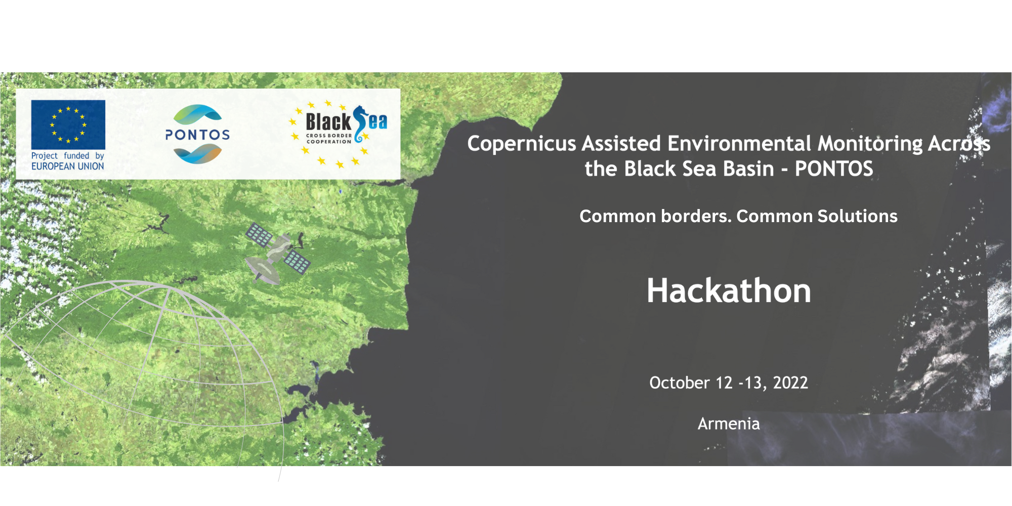
About the Event:
Earth observation (EO) is used to monitor and assess the status of, and changes in the natural and manmade environment. EO data is essential in enhancing our knowledge and understanding on Earth processes and changes over time, as well as for assisting and supporting environmental monitoring and decision making. The Earth has been constantly observed by satellites since 1972, providing regular and multispectral observations of the planet. Nowadays, researchers are able to reach a variety of remote sensing information in the form of images acquired by various and diverse satellites and sensors in different temporal, spatial and spectral resolutions.
One of the leading providers of EO data is the Copernicus Programme. Copernicus is the European Union’s Earth observation programme managed by the European Commission, looking at our planet and its environment.
Using the EU data and services provided by the Copernicus programme, PONTOS project aims to enhance transboundary cooperation for large-scale, harmonized environmental monitoring across the countries of the Black Sea region and beyond. PONTOS’s overall objective is to make information and knowledge available to scientists, policymakers, citizens, and other relevant stakeholders and provide a full picture of the state and temporal evolution of the Black Sea region environment. This is achieved by exploiting information technologies to automatically retrieve Copernicus products, couple them with national or regional infrastructures for data acquisition and processing, and provide monitoring services for the Black Sea and the surrounding environment.
To this end, PONTOS operational platform and mounted online services including 1)PONTOS Data Cube, 2)PONTOS Web Application, and 3)PONTOS WebGIS have been developed by the project team which are freely available and accessible for local, national, and regional stakeholders.
PONTOS Data Cube (easy production of maps from satellite data) was implemented in the direction of enabling end-users with the ability of easy exploration, analysis, management and visualization of satellite EO data for each pilot site of this project. It aims to strengthen the value and impact of EO satellite data in the Black Sea Basin and each pilot area of the PONTOS project.
PONTOS Web Application (airborne and in-situ data management support) was created to be integrated in the PONTOS platform in order to manage and analyze airborne and in-situ data that has been developed within the project. The web application is complementary to PONTOS Data Cube and PONTOS WebGIS. The Web Application Services are available in English, Armenian, Greek, Georgian, and Ukrainian language.
PONTOS WebGIS (a combination of available information already existing on maps) service interactively visualizes the spatial data collected in the PONTOS project and organized in a common spatial infrastructure. The system combines the principles and tools of Geographic Information Systems (GIS) and aims to harmonize the large and multi-dimensional datasets collected within the Project. The main purpose of WebGIS is to further enhance the user experience in terms of user accessibility, data aggregation and data visualization.
The challenge consists of two parts:
- Generating new ideas using PONTOS operational platform and mounted online services/tools
- Suggesting to create useful application (or stand-alone solution/tool) for the PONTOS Platform using the Copernicus data
Possible topics of interests related to the both parts of challenges:
- Sustainable development goals;
- Land changes (it can include different classes of land cover/ land use such as forest, crops, grassland, water surfaces and artificial covers like roads and buildings);
- Water health and pollution;
- Agricultural practices (such as estimate crop size, to provide soil moisture information and to forecast yield);
- Climate change;
- Your suggested topic.
Event venue will be provided upon registration. Please register here.
Language: Armenian