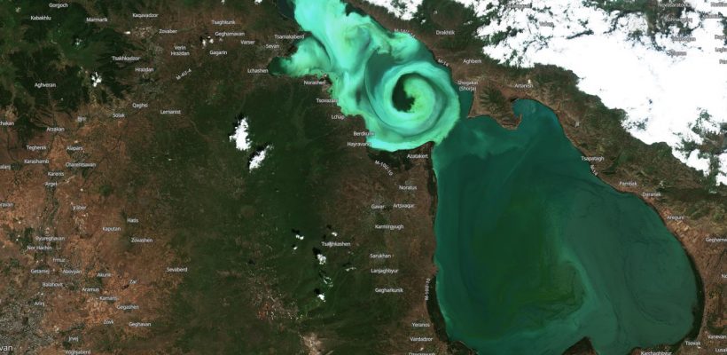
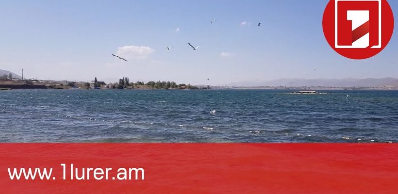
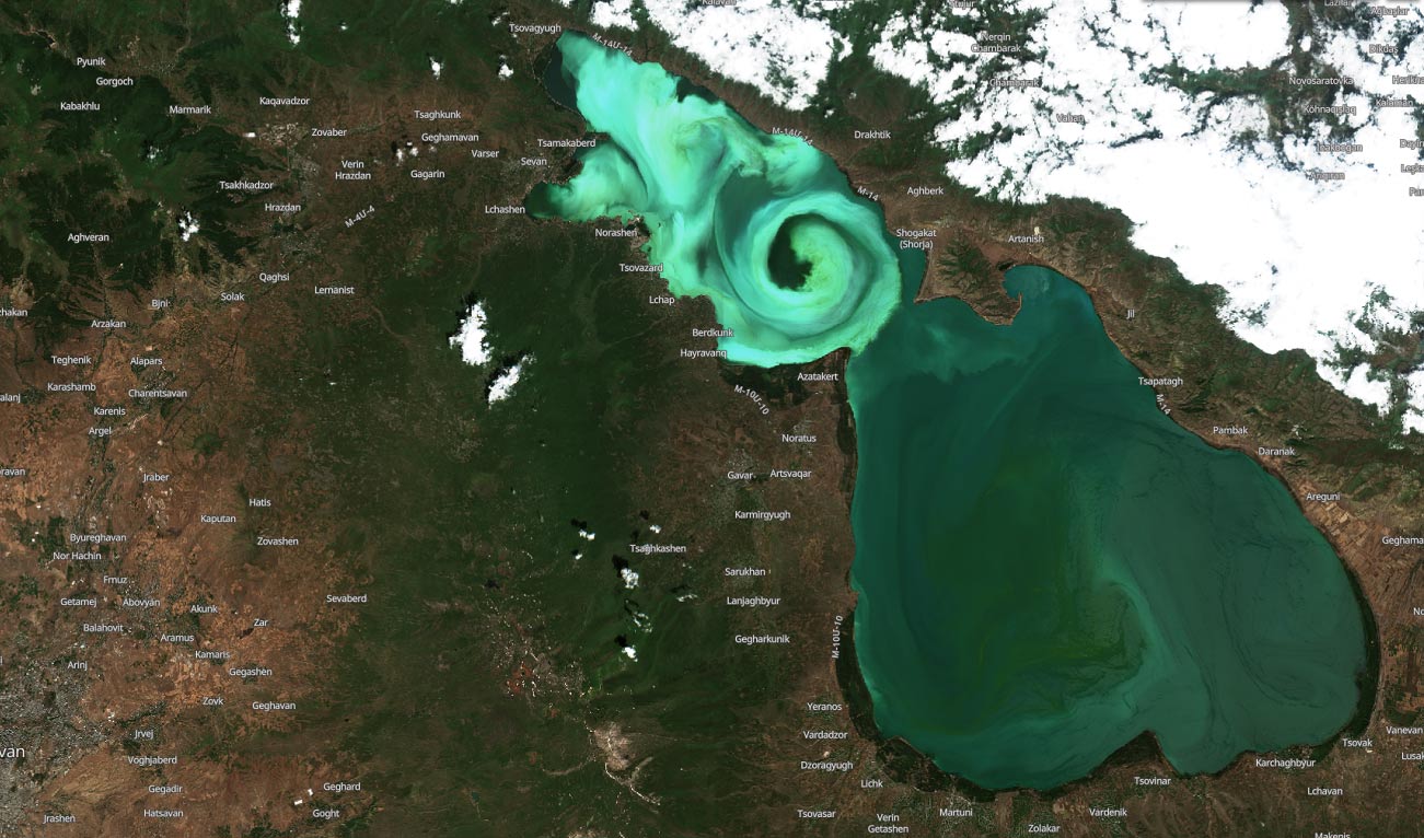
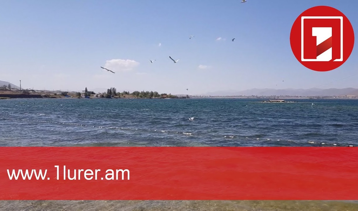
AUA Launches Lake Sevan Hydrobiological Monitoring AssessmentEnvironment, GIS & Remote Sensing Lab, NewsExpandDetails Environment, GIS & Remote Sensing Lab, News AUA Launches Lake Sevan Hydrobiological Monitoring AssessmentWith a deteriorating water quality, Lake Sevan has been troubled by toxic cyanobacterial blooms in the last few years. Read MoretgyurjyanDec 07Comments Disabled
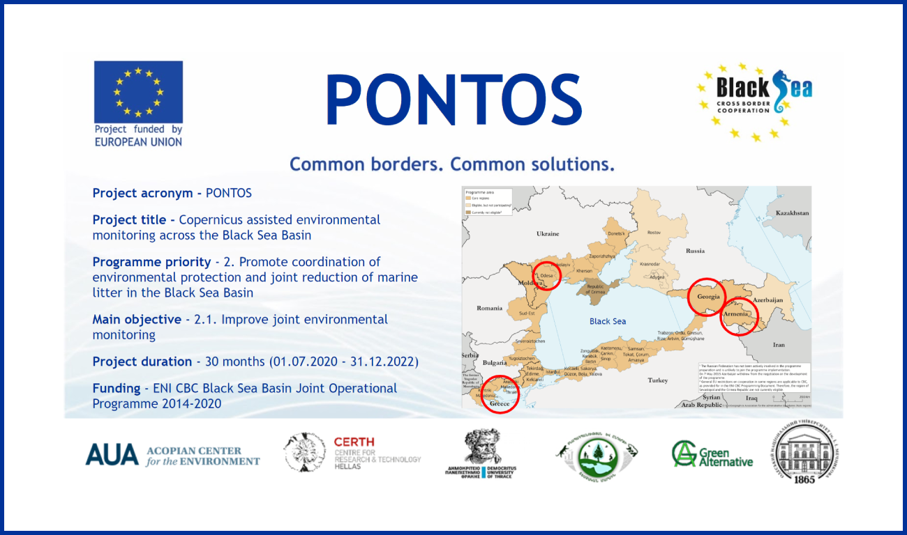
Aghavni Harutyunyan, PONTOS project manager, and Garabet Kazanjian, CHSS assistant professor and PONTOS project researcher, elaborate on the project and the environmental issues it tackles. /ARM/AUA in the Media, Environment, GIS & Remote Sensing LabExpandDetails AUA in the Media, Environment, GIS & Remote Sensing Lab Aghavni Harutyunyan, PONTOS project manager, and Garabet Kazanjian, CHSS assistant professor and PONTOS project researcher, elaborate on the project and the environmental issues it tackles. /ARM/Public TV Read MoretgyurjyanDec 06Comments Disabled
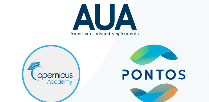
AUA Becomes a Member of the European Commission’s Copernicus AcademyEnvironment, GIS & Remote Sensing Lab, International Projects, NewsExpandDetails Environment, GIS & Remote Sensing Lab, International Projects, News AUA Becomes a Member of the European Commission’s Copernicus AcademyThe European Commission’s Copernicus Academy currently has a network of over 170 members. Read MoretgyurjyanSep 13Comments Disabled
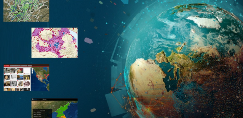
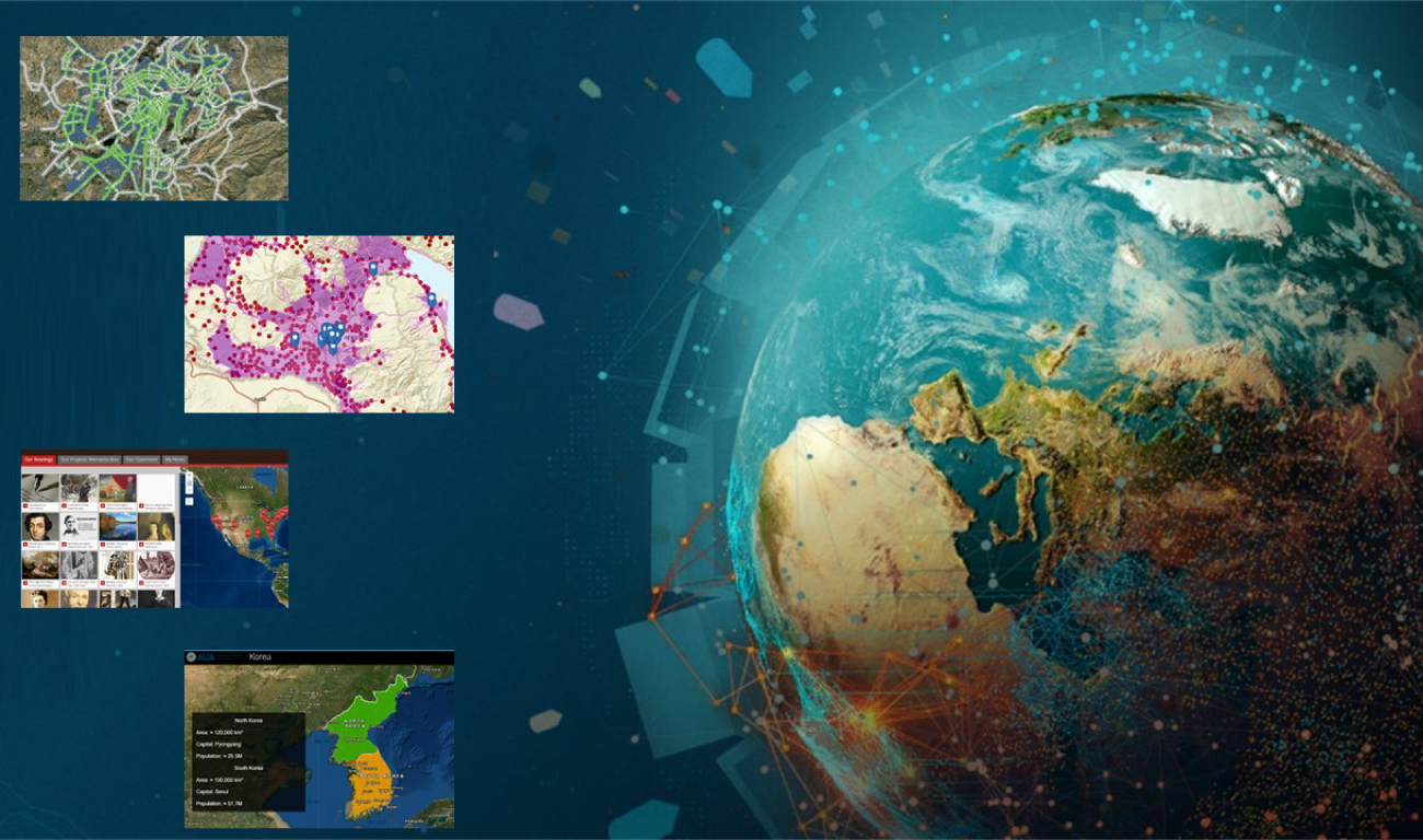
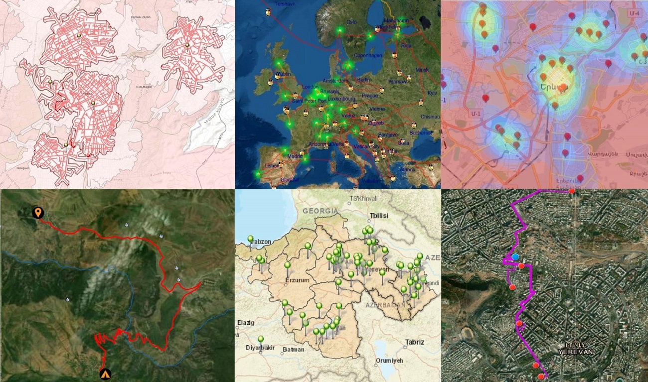
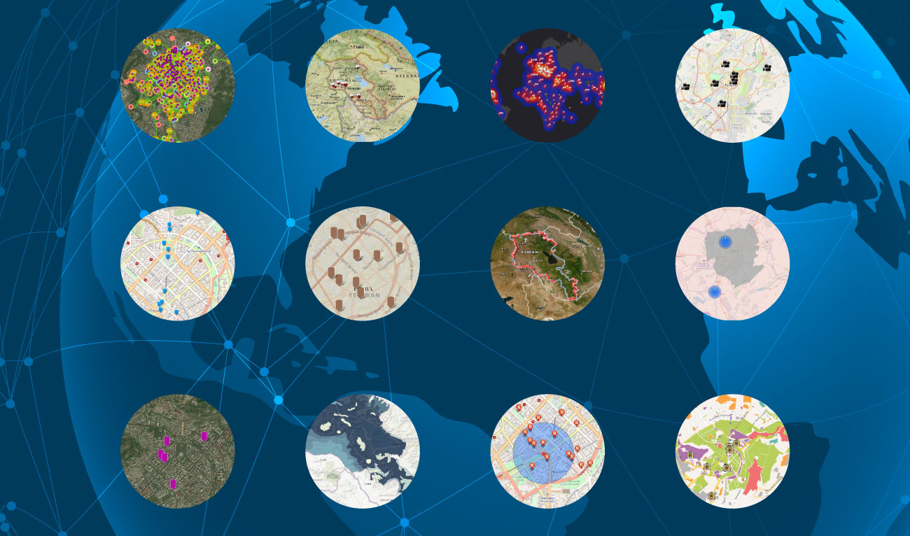
AUA Students Create GIS Story Maps in Various CoursesEnvironment, GIS & Remote Sensing Lab, News, Our Students, Science & EngineeringExpandDetails Environment, GIS & Remote Sensing Lab, News, Our Students, Science & Engineering AUA Students Create GIS Story Maps in Various CoursesThe topics range from Armenian literature to the Amazon Rainforest. Read MoredoganesianJun 07Comments Disabled
GIS Story Maps Created by AUA StudentsGIS & Remote Sensing Lab, News, Our StudentsExpandDetails GIS & Remote Sensing Lab, News, Our Students GIS Story Maps Created by AUA StudentsThe interactive maps illustrate spatial relationships and bring stories to life. Read MoretgyurjyanDec 18Comments Disabled
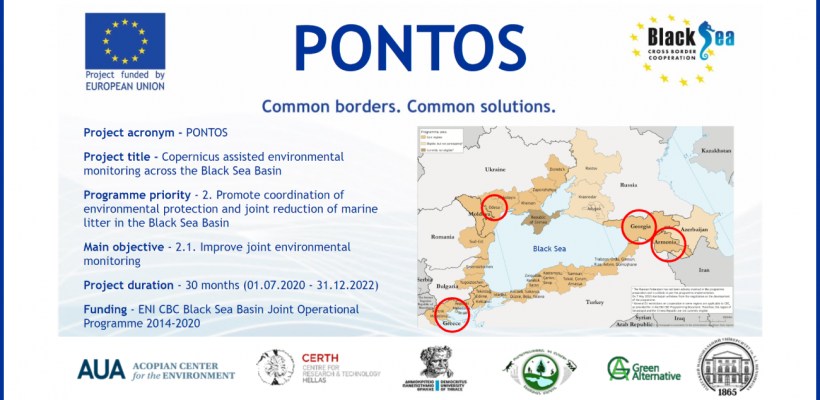
Black Sea Project, PONTOS, LaunchedEnvironment, GIS & Remote Sensing Lab, International Projects, NewsExpandDetails Environment, GIS & Remote Sensing Lab, International Projects, News Black Sea Project, PONTOS, LaunchedAUA leads the project with partners from the Black Sea region. Read MoredoganesianJul 28Comments Disabled
GIS Story Maps: Online Exhibition of Student-Created MapsCommunity Impact, GIS & Remote Sensing Lab, News, Our StudentsExpandDetails Community Impact, GIS & Remote Sensing Lab, News, Our Students GIS Story Maps: Online Exhibition of Student-Created MapsThe topics range from the world population density to museums and cinemas in Yerevan. Read MoretgyurjyanApr 23Comments Disabled
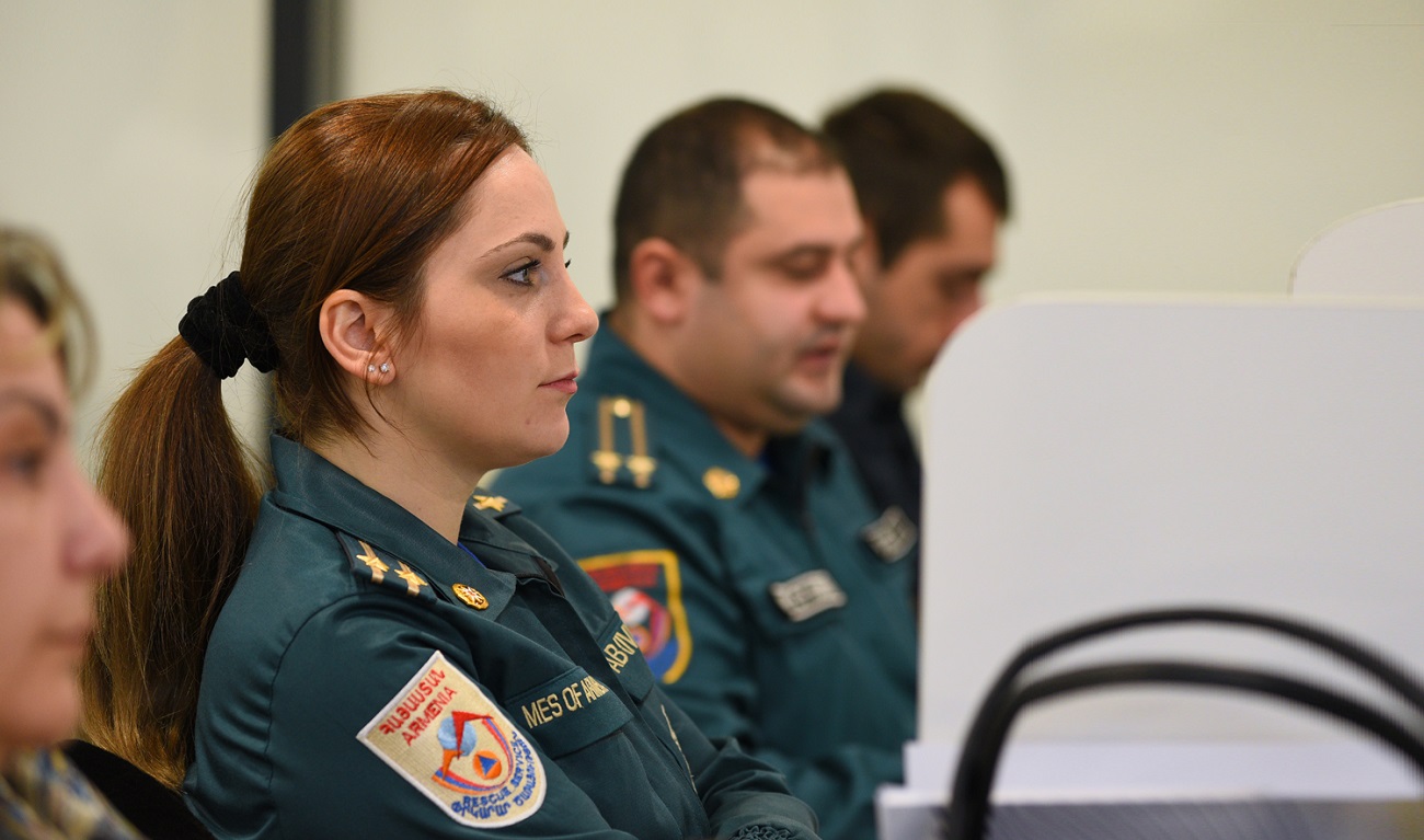
Online Tools to Manage Hydro and Mining Dam Failure Risks DiscussedEnvironment, GIS & Remote Sensing Lab, NewsExpandDetails Environment, GIS & Remote Sensing Lab, News Online Tools to Manage Hydro and Mining Dam Failure Risks DiscussedThe event presented the GIS layers and tools developed during the ALTER project. Read MoretgyurjyanJan 30Comments Disabled
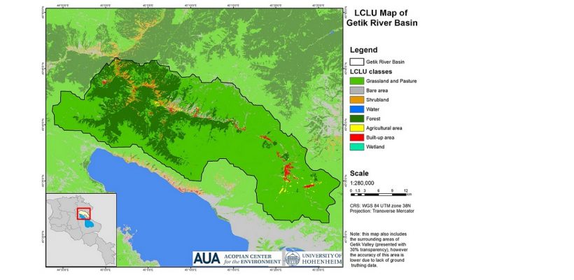
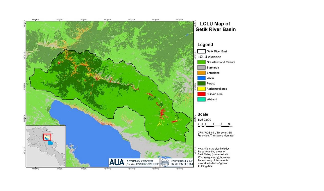
Report on GAtES Project Activities in 2018-2019Environment, GIS & Remote Sensing Lab, NewsExpandDetails Environment, GIS & Remote Sensing Lab, News Report on GAtES Project Activities in 2018-2019The reports were prepared by the AUA Acopian Center and the University of Hohenheim. Read MoretgyurjyanSep 05Comments Disabled
AUA Acopian Center and Hohenheim University Off to a Strong Start on Their GAtES ProjectEnvironment, GIS & Remote Sensing Lab, NewsExpandDetails Environment, GIS & Remote Sensing Lab, News AUA Acopian Center and Hohenheim University Off to a Strong Start on Their GAtES ProjectThe project strengthens the AUA Acopian Center for the Environment's capacity in assessing ecosystem services. Read MoretgyurjyanDec 19Comments Disabled

