PONTOS Armenia Team Participates in Training of Trainers
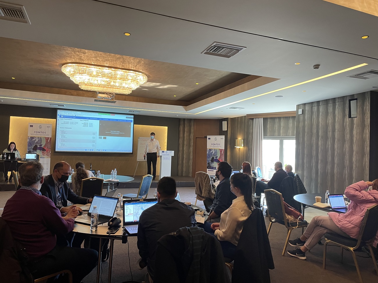
3 min readTHESSALONIKI, Greece — Within the framework of the European Union-funded “Copernicus Assisted Environmental Monitoring Across the Black Sea Basin — PONTOS” project, of which the American University of Armenia (AUA) Acopian Center for the Environment is the lead partner, a Training of Trainers (ToT) was held in Greece on March 10. This was the first offline training of the team since the start of the project, as the earlier training activities had been impacted by the restrictions imposed by COVID-19.
Overall, twenty participants, including project research staff from PONTOS partner institutions, attended the training organized by the Center for Research and Technology Hellas (CERTH). Five researchers and academic staff from the AUA Acopian Center — Aghavni Harutyunyan, Dr. Alexander Arakelyan, Dr. Garabed Kazanjian, Dr. Artak Piloyan, and Yeva Danielyan — attended the training.
The training featured an introduction to the PONTOS platform and presentations on assessments of the pilot areas of each project country: Armenia, Georgia, Greece, and Ukraine. In the pilot sites, the PONTOS researchers study a variety of environmental monitoring challenges, including assessing the dynamics of coastline changes; forest cover changes and their consequences on the environment; and changes in wetland and floating vegetation cover and their respective impact on the loss of ecosystem services.
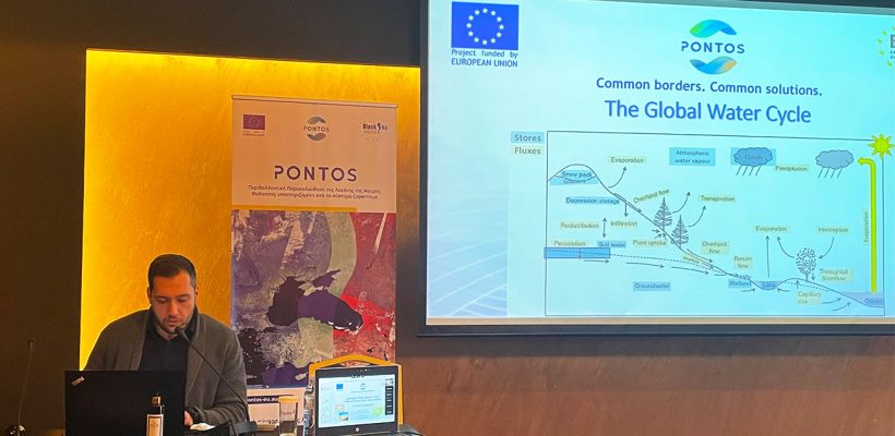
During the first part of the ToT, the team from Greece demonstrated PONTOS platform’s services, which include a Data Cube, Web Application, and WebGIS facilities. The presentations covered theoretical and hands-on experience on the pilot site assessments. The session also touched upon chlorophyll calculation through satellite images, as well as agricultural water balance, water productivity, and water stress indices.
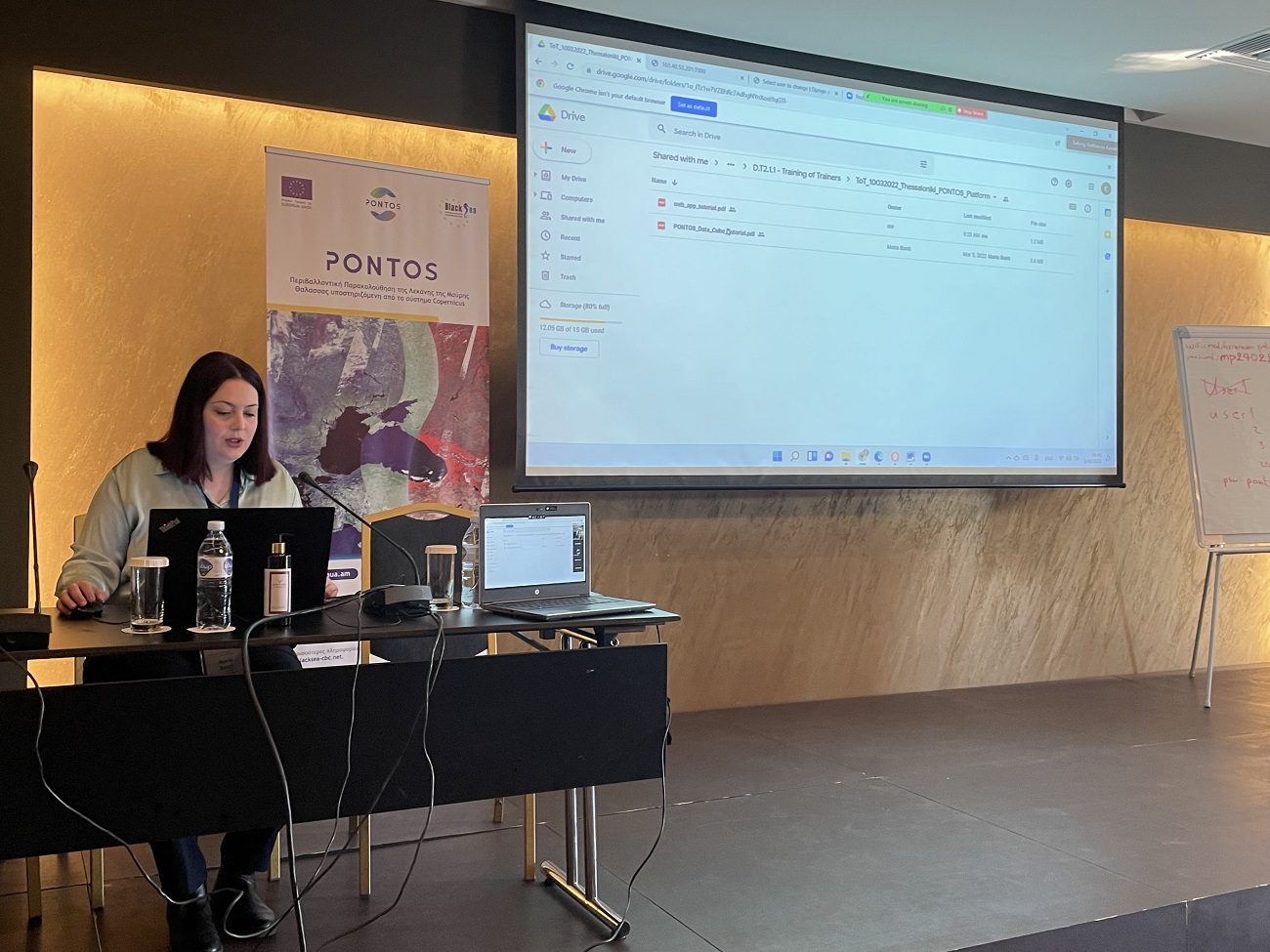
Maria Banti, Research Assistant at CERTH, delivered a workshop on the PONTOS Data Cube, which enables users to explore, analyze, efficiently manage, and visualize satellite images for each pilot area. “The training material aims to prepare participants to use and be able to train others to use the PONTOS Data Cube,” explained Ms. Banti. “It is an essential part of the PONTOS platform to ease the production of maps from Earth Observation (EO) satellite data and enhance environmental monitoring in the Black Sea Basin area.” The Data Cube decreases the time and specialized knowledge required to access, explore, and process satellite data using various analytical tools, a considerable volume of EO Analyses Ready Data (ARD) satellite data, and in-built computational infrastructure.
The subsequent presentation was delivered by Eleftherios Katsikis, Research Assistant at CERTH. She elaborated on the PONTOS Web Application, which enables users to analyze existing data, collected and stored in the database, or upload and analyze new data. In his introduction, Katsikis mentioned that the web application complements the PONTOS Data Cube and WebGIS, offering functionalities explicitly aimed at exploiting satellite, airborne, and in-situ data.
Dr. Nikolaos Kokkos from Democritus University of Thrace presented the PONTOS WebGIS service. This is a website for interactive visualization of spatial data collected in the project and organized in a common spatial infrastructure. Dr. Kokkos mentioned that one of the system’s main advantages is having one platform for all pilot areas, fully compatible with mobile devices.
Training materials and resources are available online on the PONTOS website: Training of Trainers – PONTOS (aua.am).
Copernicus assisted environmental monitoring across the Black Sea Basin-PONTOS is a 30-month project funded by the European Union’s ENI CBC Black Sea Basin Programme 2014-2020. The PONTOS makes information about the Black Sea environment from the EU Copernicus Earth Observation platform accessible to scientists, policymakers, citizens, and other relevant stakeholders. It utilizes information technologies to automatically retrieve Copernicus products, couples them with national or regional infrastructures for data acquisition and processing, and provides monitoring services for the Black Sea and the surrounding environment in a transboundary, standardized, and homogenized manner. The environmental monitoring system developed is tested in pilot sites across Armenia, Greece, Georgia, and Ukraine.
The AUA Acopian Center for the Environment, a research center of the American University of Armenia (AUA), promotes the protection and restoration of the natural environment through research, education, and community outreach. The AUA Acopian Center’s focus areas include sustainable natural resource management, biodiversity protection and conservation, greening the built environment, sustainable energy, as well as information technology and the environment. Visit http://ace.aua.am.