
Geographic Information System and Remote Sensing Lab Opens at AUA
2 min readYEREVAN, Armenia-The newly established AUA Geographic Information System (GIS) and Remote Sensing Lab brings dynamic data mapping as well as remote sensing capacity to AUA’s programs and research centers. Many of the disciplines offered at AUA are poised to benefit from the lab’s capabilities. Disaster management, public health, energy, environment, business, and political science are all fields which increasingly using spatial data analysis to identify issues and opportunities, diagnose problems, and reach better informed conclusions.
The lab’s current research includes land-cover monitoring using high-resolution satellite data for the province of Syunik, with an emphasis on land-cover changes caused by the mining activities in that area. In addition, it has collaborated with the State Forest Monitoring Center of the Ministry of Agriculture and the Deutsche Gesellschaft für Internationale Zusammenarbeit (GIZ) on forest monitoring. The lab fosters collaborations with universities and research groups in different European countries.
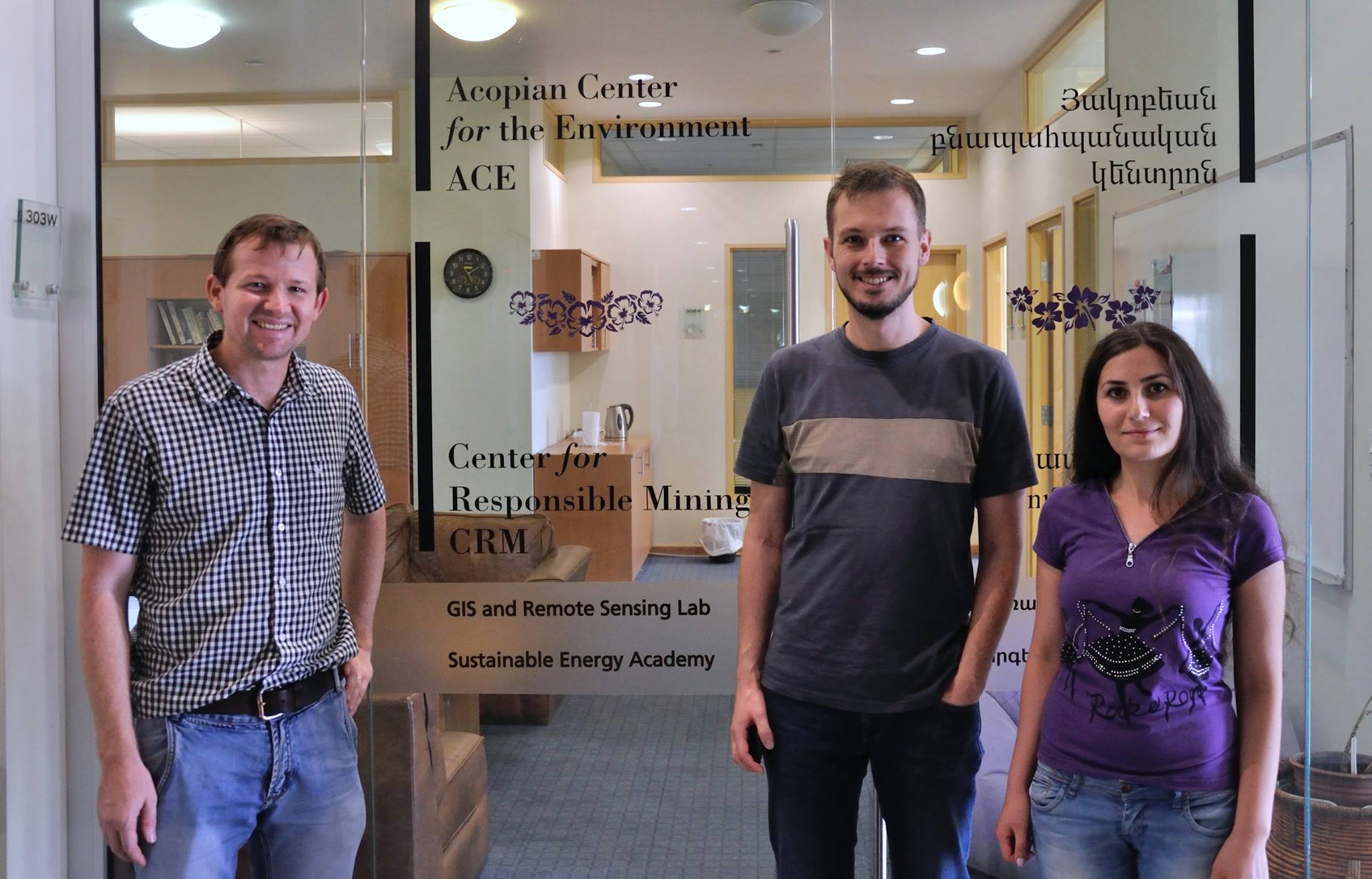
(left to right) Sean Reynolds, Stefan Schlaffer, Aghavni Harutyunyan
In July, the lab hosted professional skills development training for 16 staff members of the Ministry of Emergency Situations and the Ministry of Nature Protection. It is also hosting Ms. Biayna Bogosian, a Ph.D. candidate at the University of Southern California, who is teaching a course on urban environmental mapping.
The lab will also serve as a repository for the many maps created before its establishment. The user-friendly story maps on Armenia’s natural monuments, distribution of species (including birds and butterflies), endangered species, protected areas, and more are included in the collection of maps. These maps can be used in educational curricula, ecotourism planning, and community engagement in environmental protection.
The lab is a joint initiative of the AUA Acopian Center for the Environment and the AUA College of Science and Engineering. It currently hosts three experts, Dr. Stefan Schlaffer, Sean Reynolds, and Aghavni Harutyunyan.
Dr. Schlaffer has a Ph.D. degree in remote sensing from Vienna University of Technology and a M.Sc. degree in Geoecology from University of Bayreuth; his current research interests are satellite time series analysis and applications in hydrology and land-cover change.
Sean Reynolds has a M.Sc. degree in Geographic Information Systems and a B.Sc. in Anthropology, both from Florida State University; his current research interests include disaster risk management and forestry applications of remote sensing data.
Aghavni Harutyunyan has a M.Sc. and a B.Sc. degree in Geography from Yerevan State University; her current research interests include applications of GIS and remote sensing for monitoring of mining related land-cover changes as well as seismic hazards.
For more information, visit: http://ace.aua.am/gis-and-remote-sensing/.
Founded in 1991, the American University of Armenia (AUA) is a private, independent university located in Yerevan, Armenia and affiliated with the University of California. AUA provides a global education in Armenia and the region, offering high-quality, graduate and undergraduate studies, encouraging civic engagement, and promoting public service and democratic values.